
Topografische Karte Lake Of The Ozarks
Interaktive Karte
Klicken Sie auf die Karte, um die Höhe anzuzeigen.
Über diese Karte
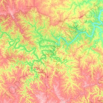
Name: Topografische Karte Lake Of The Ozarks, Höhe, Relief.
Durchschnittliche Höhe: 265 m
Minimale Höhe: 163 m
Maximale Höhe: 381 m
The lake was created by the construction of the 2,543-foot (775 m) long Bagnell Dam by the Union Electric Company of St. Louis, Missouri. The principal engineering firm was Stone and Webster. Construction began August 8, 1929, and was completed in April 1931; the lake reached spillway elevation on May 20, 1931.