
Topografische Karte Potter Valley
Klicken Sie auf die Karte, um die Höhe anzuzeigen.
Potter Valley
Potter Valley is a census-designated place in Mendocino County, California, United States. It is located 18 miles (29 km) north-northeast of Ukiah, at an elevation of 948 feet (289 m) at the headwaters of the East Fork Russian River. The CDP population was 665 at the 2020 census.
Über diese Karte
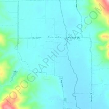
Name: Topografische Karte Potter Valley, Höhe, Relief.
Ort: Potter Valley, Mendocino County, California, United States (39.29397 -123.13185 39.33655 -123.09428)
Durchschnittliche Höhe: 317 m
Minimale Höhe: 275 m
Maximale Höhe: 563 m