
Topografische Karte Shill Gaon
Klicken Sie auf die Karte, um die Höhe anzuzeigen.
Über diese Karte
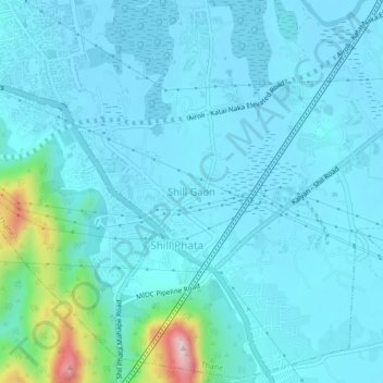
Name: Topografische Karte Shill Gaon, Höhe, Relief.
Durchschnittliche Höhe: 36 m
Minimale Höhe: 0 m
Maximale Höhe: 307 m
Andere topografische Karten
Klicken Sie auf eine Karte, um ihre Topografie, ihre Höhe und ihr Relief anzuzeigen.
Sanjay Gandhi National Park
India > Maharashtra > Thane Taluka > Thane
The region is hilly with elevations between 30 and 480 m (98 and 1,575 ft). Vihar Lake and Tulsi Lake in the park meet a part of the city's water requirements. The park is said to be the lungs of the city as it purifies much of the air pollution in the city.
Durchschnittliche Höhe: 42 m