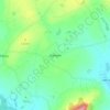
Topografische Karte Taghmon
Klicken Sie auf die Karte, um die Höhe anzuzeigen.
Taghmon
Many Irish place names are topographically descriptive, and 'Achadh Liathdrom' is no exception. From the western side of the Forth Mountain, as it slopes down towards Ballintlea, a succession of gradual hills and valleys undulate their way across this part of County Wexford towards Camross, Bree and Carrigbyrne Hills. It is on one of these hills or ridges that the village of Taghmon is situated.
Über diese Karte
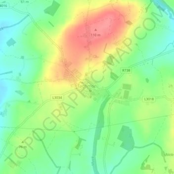
Name: Topografische Karte Taghmon, Höhe, Relief.
Durchschnittliche Höhe: 67 m
Minimale Höhe: 35 m
Maximale Höhe: 108 m
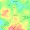
Andere topografische Karten
Klicken Sie auf eine Karte, um ihre Topografie, ihre Höhe und ihr Relief anzuzeigen.