

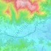
Topografische Karte Púbol
Klicken Sie auf die Karte, um die Höhe anzuzeigen.
Über diese Karte

Name: Topografische Karte Púbol, Höhe, Relief.
Ort: Púbol, la Pera, Bajo Ampurdán, Gerona, Cataluña, España (42.01282 2.98140 42.01786 2.98459)
Durchschnittliche Höhe: 112 m
Minimale Höhe: 57 m
Maximale Höhe: 195 m
Andere topografische Karten
Klicken Sie auf eine Karte, um ihre Topografie, ihre Höhe und ihr Relief anzuzeigen.
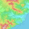
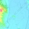
Torroella de Montgrí
España > Cataluña > Bajo Ampurdán
En su práctica totalidad, el macizo del Montgrí se encuentra protegido dentro el parque natural del Montgrí, las islas Medas y el Bajo Ter, que incluye también algunas zonas húmedas del municipio y la casi totalidad de su superficie costera y las islas Medas. Se trata de un macizo kárstico costero, con…
Durchschnittliche Höhe: 34 m
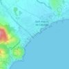


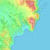
Castillo de Aro, Playa de Aro y S'Agaró
España > Cataluña > Bajo Ampurdán
Durchschnittliche Höhe: 48 m
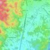
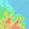
Cruïlles
España > Cataluña > Bajo Ampurdán > Cruïlles, Monells i Sant Sadurní de l'Heura > Sant Sadurní de l'Heura
Durchschnittliche Höhe: 66 m
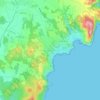
Serra dels Perduts
España > Cataluña > Bajo Ampurdán > la Bisbal d'Empordà
Durchschnittliche Höhe: 134 m




Platja d'Aro
España > Cataluña > Bajo Ampurdán > Castillo de Aro, Playa de Aro y S'Agaró
Durchschnittliche Höhe: 47 m






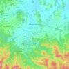
Monells
España > Cataluña > Bajo Ampurdán > Cruïlles, Monells i Sant Sadurní de l'Heura
Durchschnittliche Höhe: 79 m

Torroella de Montgrí
España > Cataluña > Bajo Ampurdán
En su práctica totalidad, el macizo del Montgrí se encuentra protegido dentro el parque natural del Montgrí, las islas Medas y el Bajo Ter, que incluye también algunas zonas húmedas del municipio y la casi totalidad de su superficie costera y las islas Medas. Se trata de un macizo kárstico costero, con…
Durchschnittliche Höhe: 34 m