
Topografische Karte Ashland
Interaktive Karte
Klicken Sie auf die Karte, um die Höhe anzuzeigen.
Ashland
The area offers a variety of topography, varying from rolling grasslands to steep rock outcrops. Vegetation varies from prairie to dense stands of ponderosa pine.
Über diese Karte
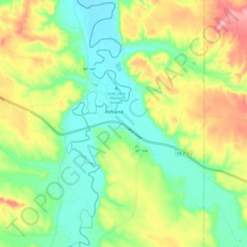
Name: Topografische Karte Ashland, Höhe, Relief.
Durchschnittliche Höhe: 940 m
Minimale Höhe: 879 m
Maximale Höhe: 1.039 m