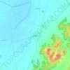
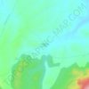
Topografische Karte Guadalajara
Klicken Sie auf die Karte, um die Höhe anzuzeigen.
Guadalajara
Chosen as settlement on the basis of defensive purposes, the historic urban core of the city lies on a small elevation near the left-bank of the Henares River, also enclosed to the East and West by two small ditches corresponding to two watercourses, Alamín [es] and San Antonio, respectively, forming a narrow and easily defendable space upon their confluence with the Henares.
Über diese Karte
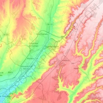
Name: Topografische Karte Guadalajara, Höhe, Relief.
Ort: Guadalajara, Castile-La Mancha, Spain (40.46083 -3.31415 40.77072 -2.98119)
Durchschnittliche Höhe: 802 m
Minimale Höhe: 584 m
Maximale Höhe: 1.004 m
Andere topografische Karten
Klicken Sie auf eine Karte, um ihre Topografie, ihre Höhe und ihr Relief anzuzeigen.



Sierra Morena
Spain > Castile-La Mancha > Sierra Morena > Fuencaliente
Durchschnittliche Höhe: 1.070 m

Alto del Campo
Spain > Castile-La Mancha > Señorío de Molina > Fuentelsaz
Durchschnittliche Höhe: 1.198 m
Valderacete
Spain > Castile-La Mancha > Toledo > Villaluenga de la Sagra
Durchschnittliche Höhe: 533 m