
Topografische Karte Mount Labo
Klicken Sie auf die Karte, um die Höhe anzuzeigen.
Mount Labo
Labo is a forested andesitic stratovolcano, surrounded by numerous andesitic to dacitic satellite lava domes. It has an elevation of 1,544 metres (5,066 ft) asl. Base diameter of this complex volcano is 35 kilometres (22 mi). Labo is thermally active with both warm and hot springs.
Über diese Karte
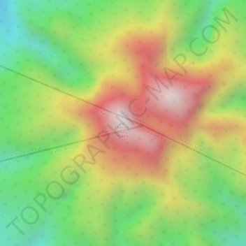
Name: Topografische Karte Mount Labo, Höhe, Relief.
Ort: Mount Labo, Tagkawayan, Quezon, Calabarzon, Philippines (14.01311 122.78767 14.01321 122.78777)
Durchschnittliche Höhe: 1.052 m
Minimale Höhe: 632 m
Maximale Höhe: 1.481 m