
Topografische Karte Cripple Creek
Interaktive Karte
Klicken Sie auf die Karte, um die Höhe anzuzeigen.
Über diese Karte
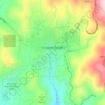
Name: Topografische Karte Cripple Creek, Höhe, Relief.
Durchschnittliche Höhe: 2.946 m
Minimale Höhe: 2.796 m
Maximale Höhe: 3.165 m
For many years, Cripple Creek's high valley, at an elevation of 9,494 feet (2,894 m), was considered no more important than a cattle pasture. Many prospectors avoided the area after the Mount Pisgah hoax, a mini gold rush caused by salting (adding gold to worthless rock).