
Vielen Dank für die Unterstützung dieser Website ❤️
Spenden
Spenden
Topografische Karte Son Salom
Klicken Sie auf die Karte, um die Höhe anzuzeigen.
Vielen Dank für die Unterstützung dieser Website ❤️
Spenden
Spenden
Über diese Karte
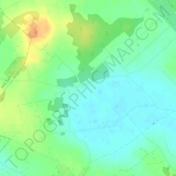
Name: Topografische Karte Son Salom, Höhe, Relief.
Ort: Son Salom, Santañí, Migjorn, Islas Baleares, 07650, España (39.34685 3.08834 39.36685 3.10834)
Durchschnittliche Höhe: 54 m
Minimale Höhe: 39 m
Maximale Höhe: 81 m
Vielen Dank für die Unterstützung dieser Website ❤️
Spenden
Spenden