
Spenden
Topografische Karte Blue Ridge Mountains
Klicken Sie auf die Karte, um die Höhe anzuzeigen.
Spenden
Blue Ridge Mountains
Although the term "Blue Ridge" is sometimes applied exclusively to the eastern edge or front range of the Appalachian Mountains, the geological definition of the Blue Ridge province extends westward to the Ridge and Valley area, encompassing the Great Smoky Mountains, the Great Balsams, the Roans, the Blacks, and other mountain ranges. In North Carolina, two lower elevation ranges to the east, referred to as foothills, are also often included as "spurs" of the Blue Ridge: the Brushy Mountains and the South Mountains. In Virginia the Southwest Mountains are an anticlinal range that similarly parallels the Blue Ridge.
Spenden
Über diese Karte
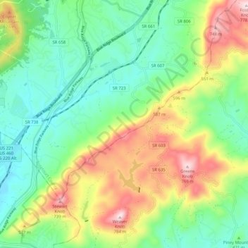
Name: Topografische Karte Blue Ridge Mountains, Höhe, Relief.
Durchschnittliche Höhe: 460 m
Minimale Höhe: 290 m
Maximale Höhe: 774 m
Spenden
Andere topografische Karten
Klicken Sie auf eine Karte, um ihre Topografie, ihre Höhe und ihr Relief anzuzeigen.