
Topografische Karte Condé-en-Normandie
Interaktive Karte
Klicken Sie auf die Karte, um die Höhe anzuzeigen.
Über diese Karte
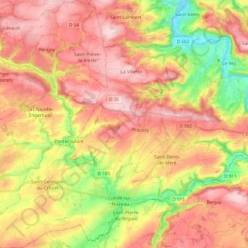
Name: Topografische Karte Condé-en-Normandie, Höhe, Relief.
Durchschnittliche Höhe: 161 m
Minimale Höhe: 27 m
Maximale Höhe: 262 m