
Topografische Karte Mount Taibai
Interaktive Karte
Klicken Sie auf die Karte, um die Höhe anzuzeigen.
Mount Taibai
The base of the mountain is composed of stone covered by yellow loess soil, while the middle elevations of the mountain are covered with hardy trees and spectacular rocky outcrops. The higher elevations of the mountain contain glacial remnants, cirque, peaks, aulacogen, and moraine, all of which have proven of great use toward geological research.
Über diese Karte
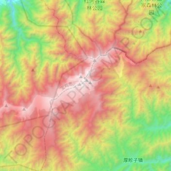
Name: Topografische Karte Mount Taibai, Höhe, Relief.
Ort: Mount Taibai, Xi'an, Shaanxi, China (33.89966 107.57555 33.99678 107.83978)
Durchschnittliche Höhe: 2.314 m
Minimale Höhe: 1.001 m
Maximale Höhe: 3.755 m
Andere topografische Karten
Klicken Sie auf eine Karte, um ihre Topografie, ihre Höhe und ihr Relief anzuzeigen.