
Topografische Karte Monte Alegre do Sul
Interaktive Karte
Klicken Sie auf die Karte, um die Höhe anzuzeigen.
Über diese Karte
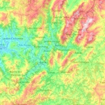
Name: Topografische Karte Monte Alegre do Sul, Höhe, Relief.
Durchschnittliche Höhe: 902 m
Minimale Höhe: 668 m
Maximale Höhe: 1.232 m
Monte Alegre do Sul is a municipality in the state of São Paulo in Brazil. The population is 7,736 (2015 est.) in an area of 110 km². The elevation is 748 m.