
Spenden
Topografische Karte Frontenac Provincial Park
Klicken Sie auf die Karte, um die Höhe anzuzeigen.
Spenden
Frontenac Provincial Park
Frontenac Provincial Park is located near the town of Sydenham, north of the city of Kingston, Ontario, Canada. The Government of Ontario has classified Frontenac Provincial Park as a natural environment park. The park lies on the Frontenac Axis, a topographic extension of the Canadian Shield, which connects to the Adirondack Mountains, and consists of mixed forest, lakes, wetlands, and granite outcrops. Recreational opportunities include hiking, canoeing, and backcountry camping. Wilderness courses are offered to teach wilderness skills in a semi-wilderness setting.
Spenden
Über diese Karte
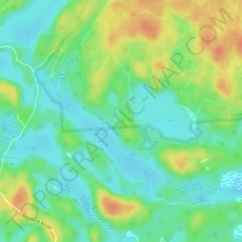
Name: Topografische Karte Frontenac Provincial Park, Höhe, Relief.
Durchschnittliche Höhe: 151 m
Minimale Höhe: 134 m
Maximale Höhe: 178 m
Spenden