
Topografische Karte Vinita
Interaktive Karte
Klicken Sie auf die Karte, um die Höhe anzuzeigen.
Vinita
Vinita is located in northeastern Oklahoma, a region of the state known as Green Country. According to the Vinita Chamber of Commerce, the town is often called the "Crossroads to Green Country." It sits at the base of the Ozark Highlands topographical region in a mix of prairie and forest. It is located in southern Craig County.
Über diese Karte
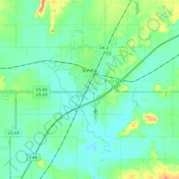
Name: Topografische Karte Vinita, Höhe, Relief.
Ort: Vinita, Craig County, Oklahoma, United States (36.58978 -95.26966 36.66675 -95.12560)
Durchschnittliche Höhe: 213 m
Minimale Höhe: 200 m
Maximale Höhe: 259 m