

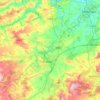
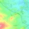
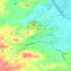
Topografische Karte Chard
Klicken Sie auf die Karte, um die Höhe anzuzeigen.
Chard
Chard is a town and a civil parish in the English county of Somerset. It lies on the A30 road near the Devon and Dorset borders, 15 miles (24 km) south west of Yeovil. The parish has a population of approximately 14,000 and, at an elevation of 121 metres (397 ft), Chard is the southernmost and one of the highest towns in Somerset. Administratively Chard forms part of the district of South Somerset.
Über diese Karte
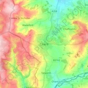
Name: Topografische Karte Chard, Höhe, Relief.
Ort: Chard, Somerset, England, TA20 1FU, United Kingdom (50.83367 -2.99974 50.91367 -2.91974)
Durchschnittliche Höhe: 135 m
Minimale Höhe: 41 m
Maximale Höhe: 249 m
Andere topografische Karten
Klicken Sie auf eine Karte, um ihre Topografie, ihre Höhe und ihr Relief anzuzeigen.
Shepton Mallet
United Kingdom > England > Somerset > Mendip District > Shepton Mallet
Durchschnittliche Höhe: 173 m




Bird Pond
United Kingdom > England > Somerset > Brompton Regis > Hartford
Durchschnittliche Höhe: 253 m


Luxborough
United Kingdom > England > Somerset > Somerset West and Taunton
Durchschnittliche Höhe: 292 m
Horner Water
United Kingdom > England > Somerset > Somerset West and Taunton > Luccombe
Durchschnittliche Höhe: 248 m