
Topografische Karte Pedda Cheruvu
Interaktive Karte
Klicken Sie auf die Karte, um die Höhe anzuzeigen.
Über diese Karte
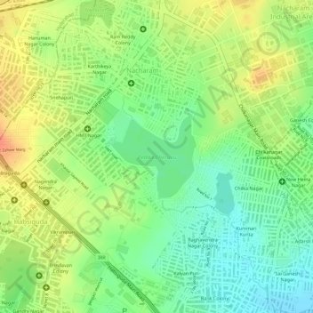
Name: Topografische Karte Pedda Cheruvu, Höhe, Relief.
Durchschnittliche Höhe: 505 m
Minimale Höhe: 480 m
Maximale Höhe: 529 m
Andere topografische Karten
Klicken Sie auf eine Karte, um ihre Topografie, ihre Höhe und ihr Relief anzuzeigen.
Shilparamam, Uppal
India > Telangana > Uppal mandal > Hyderabad
Shilparamam, Uppal, Church Colony, Ward 10 Uppal, Greater Hyderabad Municipal Corporation East Zone, Hyderabad, Uppal mandal, Medchal–Malkajgiri, Telangana, 500039, India
Durchschnittliche Höhe: 478 m
Greater Hyderabad Municipal Corporation East Zone
India > Telangana > Uppal mandal > Hyderabad
Greater Hyderabad Municipal Corporation East Zone, Hyderabad, Uppal mandal, Medchal–Malkajgiri District, Telangana, India
Durchschnittliche Höhe: 515 m