
Topografische Karte Guachucal
Interaktive Karte
Klicken Sie auf die Karte, um die Höhe anzuzeigen.
Über diese Karte
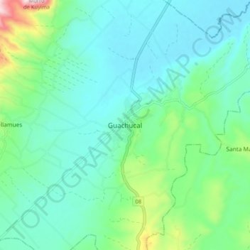
Name: Topografische Karte Guachucal, Höhe, Relief.
Ort: Guachucal, Nariño, Colombia (0.91734 -77.77336 0.99734 -77.69336)
Durchschnittliche Höhe: 3.116 m
Minimale Höhe: 3.005 m
Maximale Höhe: 3.543 m
Andere topografische Karten
Klicken Sie auf eine Karte, um ihre Topografie, ihre Höhe und ihr Relief anzuzeigen.