
Topografische Karte South Sioux City
Interaktive Karte
Klicken Sie auf die Karte, um die Höhe anzuzeigen.
South Sioux City
In contrast to its hilly larger neighbor, South Sioux City is relatively flat. The difference in elevation across most of the city is less than 20 feet, generally ranging between 1,085 and 1,105 feet above sea level.
Über diese Karte
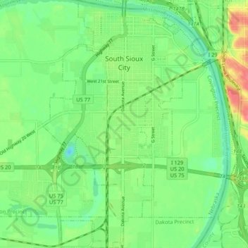
Name: Topografische Karte South Sioux City, Höhe, Relief.
Durchschnittliche Höhe: 335 m
Minimale Höhe: 311 m
Maximale Höhe: 376 m