
Topografische Karte Mammoth Lakes
Interaktive Karte
Klicken Sie auf die Karte, um die Höhe anzuzeigen.
Über diese Karte
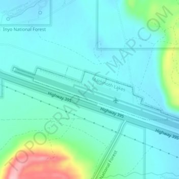
Name: Topografische Karte Mammoth Lakes, Höhe, Relief.
Durchschnittliche Höhe: 2.184 m
Minimale Höhe: 2.154 m
Maximale Höhe: 2.312 m
Mammoth Lakes is a town in Mono County, California, the county's only incorporated community. It is located immediately to the east of Mammoth Mountain, at an elevation of 7,880 feet (2,400 m). As of the 2010 United States Census, the population was 8,234, reflecting a 16% increase from the 2000 Census.