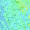
Topografische Karte Edapally
Klicken Sie auf die Karte, um die Höhe anzuzeigen.
Über diese Karte
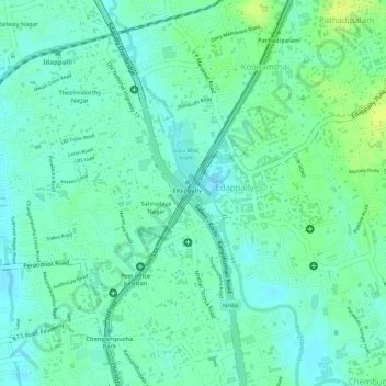
Name: Topografische Karte Edapally, Höhe, Relief.
Ort: Edapally, Kanayannur, Ernakulam district, Kerala, India (10.01887 76.30304 10.03057 76.31402)
Durchschnittliche Höhe: 9 m
Minimale Höhe: 1 m
Maximale Höhe: 18 m
Andere topografische Karten
Klicken Sie auf eine Karte, um ihre Topografie, ihre Höhe und ihr Relief anzuzeigen.
Thrippunithura
India > Kerala > Kanayannur
In the south, Thrippunithura borders the Vembanad, the longest lake in India. The lake provides facilities for inland water navigation, with the Champakkara canal stretch of the National Waterway 3 forming its western boundary with Kochi and Maradu. The canal then merges with the Chithrapuzha river in the…
Durchschnittliche Höhe: 8 m