
Topografische Karte Aishalton
Interaktive Karte
Klicken Sie auf die Karte, um die Höhe anzuzeigen.
Über diese Karte
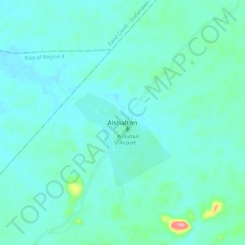
Name: Topografische Karte Aishalton, Höhe, Relief.
Durchschnittliche Höhe: 168 m
Minimale Höhe: 149 m
Maximale Höhe: 287 m
Aishalton village is located in the Rupununi savannah lands in the South of Guyana, at an altitude of 187 metres. Neighbouring villages are Karaudarnau to the west and Awarewaunau to the east. Lethem, the regional capital of the Upper Takutu-Upper Essequibo region, is situated 180 km north west of Aishalton; and Dadanawa Ranch is located approximately halfway between these two centres.