
Topografische Karte Gwinnet County Historic Courthouse
Interaktive Karte
Klicken Sie auf die Karte, um die Höhe anzuzeigen.
Über diese Karte
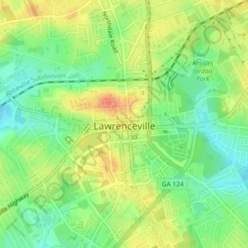
Name: Topografische Karte Gwinnet County Historic Courthouse, Höhe, Relief.
Durchschnittliche Höhe: 320 m
Minimale Höhe: 297 m
Maximale Höhe: 345 m