
Topografische Karte Bulusan Lake
Klicken Sie auf die Karte, um die Höhe anzuzeigen.
Bulusan Lake
Lake Bulusan is a lake on Luzon Island in the Philippines. It lies at the heart of Bulusan Volcano National Park which covers a land area of 3,672 hectares (9,070 acres). It has an elevation of 360 metres (1,180 ft) and is located on the southeast flank of Mount Bulusan, an active volcano.
Über diese Karte
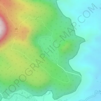
Name: Topografische Karte Bulusan Lake, Höhe, Relief.
Durchschnittliche Höhe: 382 m
Minimale Höhe: 158 m
Maximale Höhe: 846 m