
Topografische Karte Tecolate Mesa
Klicken Sie auf die Karte, um die Höhe anzuzeigen.
Über diese Karte
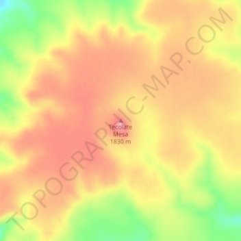
Name: Topografische Karte Tecolate Mesa, Höhe, Relief.
Ort: Tecolate Mesa, Las Animas County, Colorado, United States (37.17719 -103.32582 37.17729 -103.32572)
Durchschnittliche Höhe: 1.802 m
Minimale Höhe: 1.730 m
Maximale Höhe: 1.843 m
Andere topografische Karten
Klicken Sie auf eine Karte, um ihre Topografie, ihre Höhe und ihr Relief anzuzeigen.
Kim
United States > Colorado > Las Animas County
Kim is located on the plains of southeastern Colorado and the elevation is 5690 ft (1734 m).
Durchschnittliche Höhe: 1.734 m
Trinidad Lake State Park
United States > Colorado > Las Animas County > Trinidad
Durchschnittliche Höhe: 1.966 m
Kim
United States > Colorado > Las Animas County
Kim is located on the plains of southeastern Colorado and the elevation is 5690 ft (1734 m).
Durchschnittliche Höhe: 1.735 m