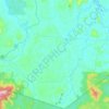
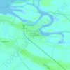
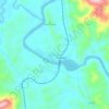
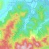
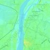
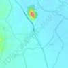
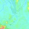
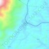
Topografische Karte Kelantan River
Klicken Sie auf die Karte, um die Höhe anzuzeigen.
Kelantan River
The river's tributaries rise in the forested mountains in the Gua Musang region in southern Kelantan, where many Orang Asli tribes live. The area is known for its karst topography, dotted with mogotes with numerous caves beneath them. Some cave systems along the Nenggiri River, the river's left tributary, show evidence of habitation going back to 9000 years ago, such as Gua Cha near Kuala Betis.
Über diese Karte

Name: Topografische Karte Kelantan River, Höhe, Relief.
Ort: Kelantan River, Tanah Merah, Kelantan, Malaysia (5.52130 102.10517 6.21835 102.24761)
Durchschnittliche Höhe: 71 m
Minimale Höhe: -2 m
Maximale Höhe: 921 m
Andere topografische Karten
Klicken Sie auf eine Karte, um ihre Topografie, ihre Höhe und ihr Relief anzuzeigen.






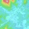


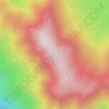
Gunung Stong
The mountain features hill dipterocarp, upper dipterocarp and montane forests, as the elevation gradually increases. There is an abundance of flora containing beneficial and medicinal properties that can be obtained within these forests.
Durchschnittliche Höhe: 1.105 m

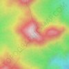




Mount Chamah
Gunung Chamah lies in the north-western corner of Kelantan and is the fifth highest mountain in Peninsular Malaysia. It is one of the Peninsula's G7 (mountains above 7,000 ft/2,134m). Gunung in Malay literally means mountains with an elevation of 1,000 m and above. In Peninsular Malaysia, there are several of…
Durchschnittliche Höhe: 1.810 m