
Topografische Karte Dingle / Daingean Uí Chúis
Klicken Sie auf die Karte, um die Höhe anzuzeigen.
Über diese Karte
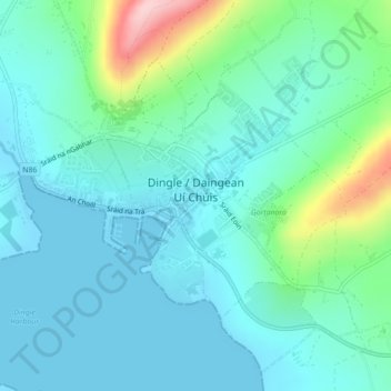
Name: Topografische Karte Dingle / Daingean Uí Chúis, Höhe, Relief.
Ort: Dingle / Daingean Uí Chúis, County Kerry, Munster, Irland (52.13074 -10.29854 52.15002 -10.25466)
Durchschnittliche Höhe: 41 m
Minimale Höhe: -1 m
Maximale Höhe: 206 m